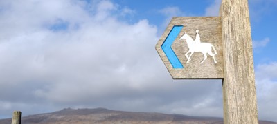
Your support with Project 2026 will mean that we can work together to ensure the routes you ride on are accurately recorded as safe off-road routes so that they may be enjoyed now, and for generations to come. The first step towards preserving these historic routes in England and Wales is to check the status of your favourite route. Please note, different rules apply in Scotland and Ireland.
Step One
Your first port of call is an Ordnance Survey Explorer 1:25,000 scale map. Hard copies of OS maps can be bought from many websites, bookshops or outdoor activity centres, or they can be viewed for free at most local libraries.
Alternatively, you can view the Ordnance Survey map for free by using Bing Maps. To view the Ordnance Survey overlay:
- Make sure your screen is expanded
- Click on the road icon in the top right of the map
- Select the ‘Ordnance Survey’
- Zoom in until the green rights of way symbols appear
If the route is marked correctly, you do not need to do anything else, it’s safe!
Step Two
If your route isn’t marked as a Bridleway, Restricted Byway or a Byway Open to All Traffic, or if it is marked as something different to what you expected, you can double check on your local authority’s map. Type your council’s name and ‘Rights of Way map’ into your search engine or contact their Rights of Way Department. Again, if your route is marked correctly, it’s safe and protected.
Step Three
If you have followed these steps and you do not think the route you ride is recorded correctly, you can log your route with us by using the form below or alternatively you can find out how to save the route yourself by reading our ‘2026 Toolkit’.