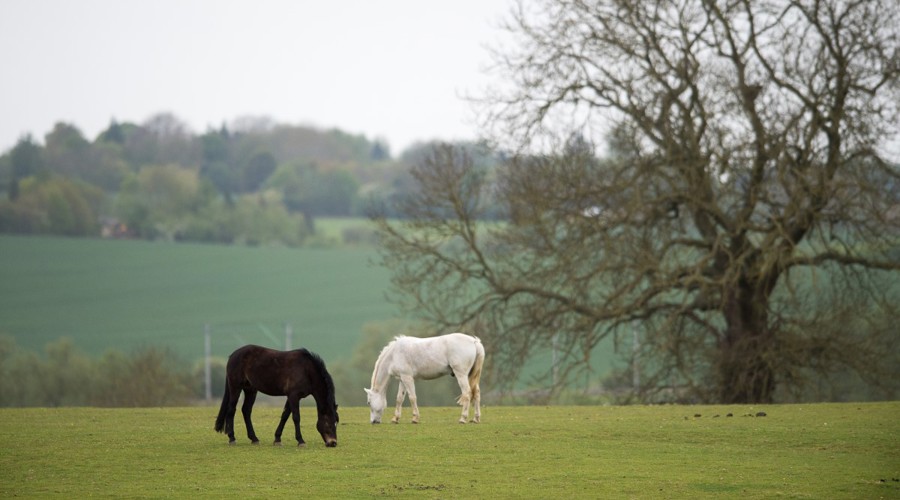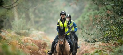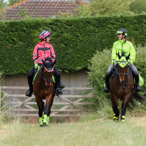
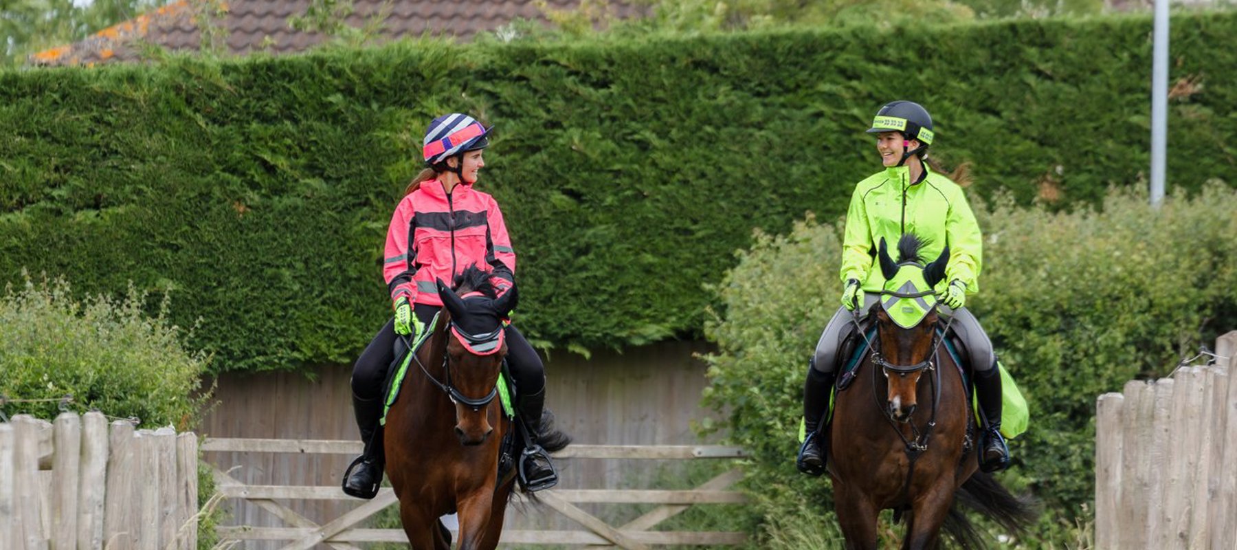
Where can I go riding off-road? - One of the most frequently asked questions, and one that is important to know the answer to.
Know your rights of way
Please note this section refers only to England, Wales, and in part, Northern Ireland.
For Scotland, please see here.
It is essential to know where you can legally ride and carriage drive:
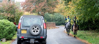
- All roads except motorways
- Some classes of Public Rights of Way, as shown on Ordnance Survey maps:
|
|
Walkers |
Cyclists |
Horse Riders |
Horse Drawn Vehicles |
Motor Vehicles |
|
Footpaths |
✓ |
|
|
|
|
|
Bridleways |
✓ |
✓ * |
✓ |
|
|
|
Restricted Byways |
✓ |
✓ |
✓ |
✓ |
|
|
Byways Open To All Traffic (BOATs) |
✓ |
✓ |
✓ |
✓ |
✓ |
* Cyclists should give way to horse riders and walkers on a bridleway
- Some commons and cycle routes
- Designated horse rides in public open spaces
- Concessionary or permissive routes
- Beaches and estuaries (subject to bylaws and conservation restrictions)
- Agri-environment schemes (‘Countryside Stewardship’)
- Permits and toll rides
Where to find a route
The Definitive Map
chevron-down
chevron-up
The Definitive Map forms the legal record of public rights of way in England and Wales.
- Kept by highway authorities (county councils or unitary authorities)
- Can be viewed online and at the Map Holder’s office (check availability with the authority)
- Shows footpaths, bridleways, restricted byway and byways
You can find the Definitive Map by searching online for your county and “Definitive Map”. Local authorities may list other routes on their website, as well as the Definitive Map.
Ordnance Survey Maps
chevron-down
chevron-up
Ordnance Survey (OS) maps will show the routes as per the Definitive Map and are available UK wide.
- Hard copy - OS Maps can be purchased from various retailers, or sometimes can be viewed or borrowed from your local library
- Online – View the online OS Map on https://explore.osmaps.com/ .
- Mobile app – download the OS App to plan your routes and find over 600 circular/linear BHS recommended riding routes.


TIP: Promoted routes are shown using diamonds on Ordnance Survey maps. They are usually more than a day’s ride, ideal for a holiday with your horse.
Does the scale of the map matter?
Yes! The OS map scales we recommend are…
- 1:25,000 – easiest to follow equestrian routes on the Explorer maps (orange covers). Explorer maps show the field boundaries.
- 1:50,000
Remember that any map may not be completely up to date as more recent changes to the Definitive Map may not yet be included. Unrecorded routes are also not shown on OS maps.
BHS Ride Maps
chevron-down
chevron-up
The British Horse Society Ride Maps has many short and long-distance routes available for free. The routes were correct at time of publication, however we recommend the routes are checked before riding or carriage driving. The routes are kept at the standard the local authority can afford.
BHS committees and volunteers
chevron-down
chevron-up
We have more than 300 Access & Bridleways Officers who have a great knowledge of local rights of way and places to go with your horse. Get in touch with your local BHS committee if you’d like to speak to a member of our volunteer team about where to ride and carriage drive in your region.
BHS-affiliated Equestrian Access Groups
chevron-down
chevron-up
BHS Equestrian Access Groups (EAGs) work to defend, extend and promote equestrian access in their area. Based across the UK, EAG members will have a good local knowledge of routes in their area.