What we do
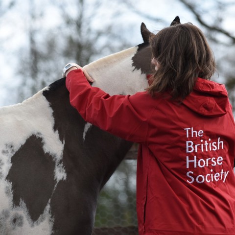
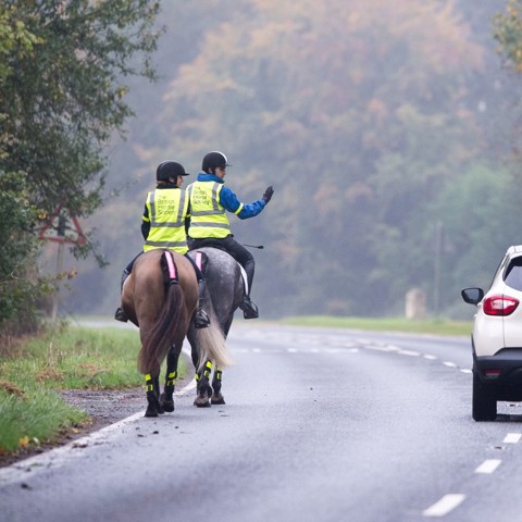
We aim to protect and promote the interests of all horses and those who care about them, including the 3.5 million people in the UK who ride or who drive a horse-drawn carriage.
Since our founding in 1947, the BHS has made a real impact on the lives of horses and horse owners with wide-ranging campaigns and initiatives.
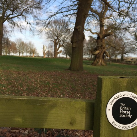
Programmes include support, advice, guidelines and training for horse owners alongside the championing of all things equestrian at a national level with dedicated lobbying and action plans. For example:
Our impact in numbers

94
94 pence in every pound raised by the BHS spent on delivering our charitable objectives
1200+
The Society's thriving and active community of 1200+ volunteers are committed to improving the lives of horses everywhere

2,933
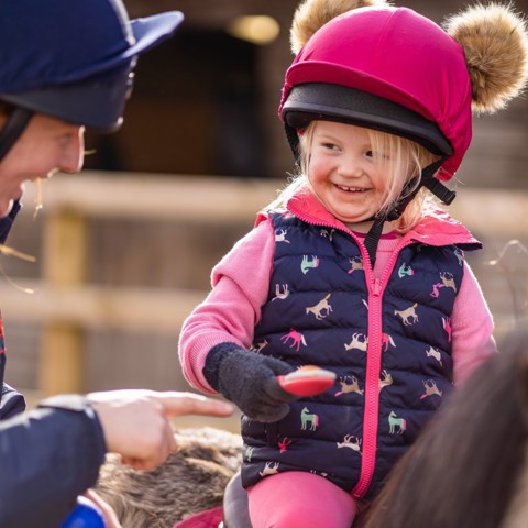
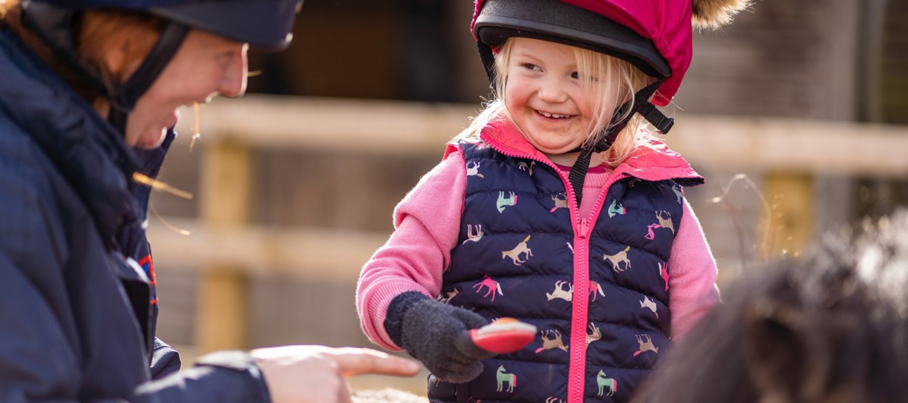
Children and young people have been supported through the Changing Lives Through Horses programme across the UK. Click here for further details

6300
Horses helped through proactive advice, support and education every year
Latest campaigns and appeals
Our key campaigns across our core foundations of education, welfare, access and safety allow us to make a real impact on the lives of horses and those who care for them in many different ways.
Our mission and values
We are the charity dedicated to knowledge, encouraging people and horses to enjoy life together.
Everything we do is in pursuit of our charitable objectives, which are underpinned by our core foundations of Education, Access, Welfare and Safety. Our values also play a huge part in how we are governed, with our Horse First approach, and principles of Respect, Supportiveness and Excellence as well as our One Team collaboration, at the heart of everything we do.
Help us create a better world for horses
The BHS wouldn’t have been able to achieve what we have today without our trustees, volunteers, members and supporters. They play a vital part in our work in education, equestrian welfare, access and safety. Find out how you can get involved and help horses and those who love them for years to come.
Work for the BHS
Like the horses and equestrians we support, jobs at the BHS come in all shapes and sizes, from office-based to hands-on events and welfare roles. We all work with one aim in mind – creating the best possible life for horses everywhere and fulfilment for all who care for them.